
ARTICLE AD BOX
Last Updated:May 17, 2026, 18:11 IST
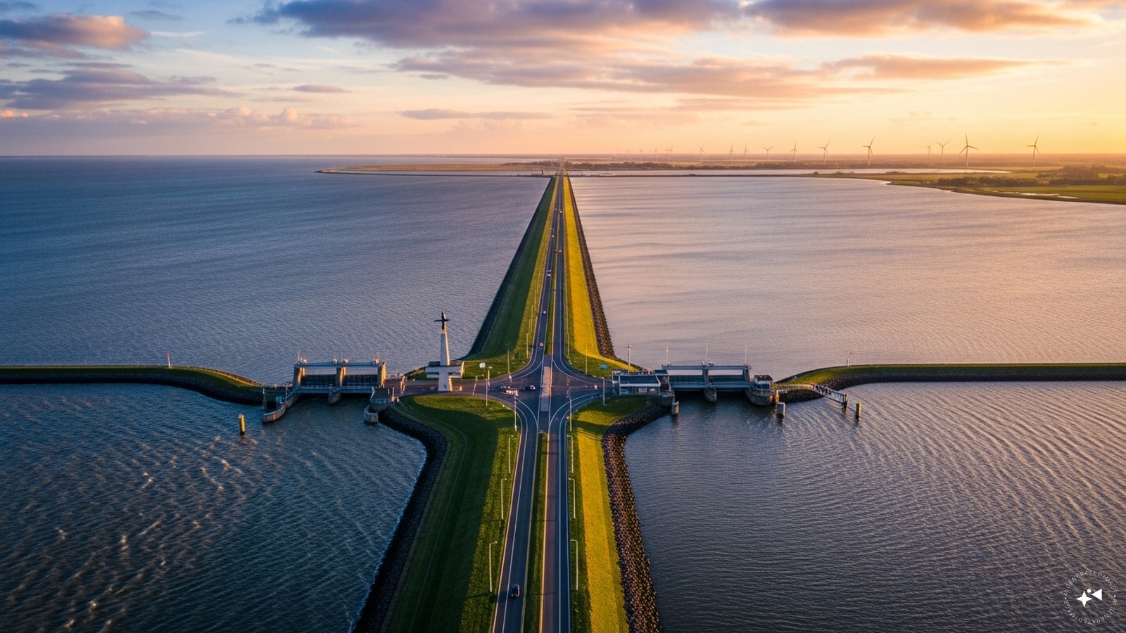
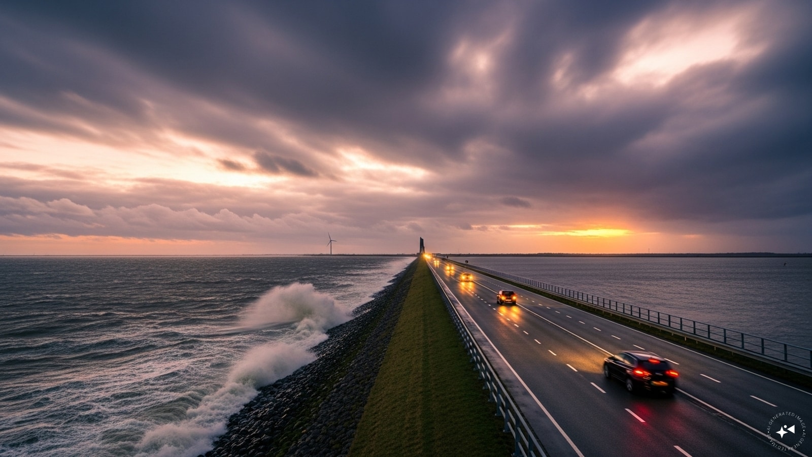
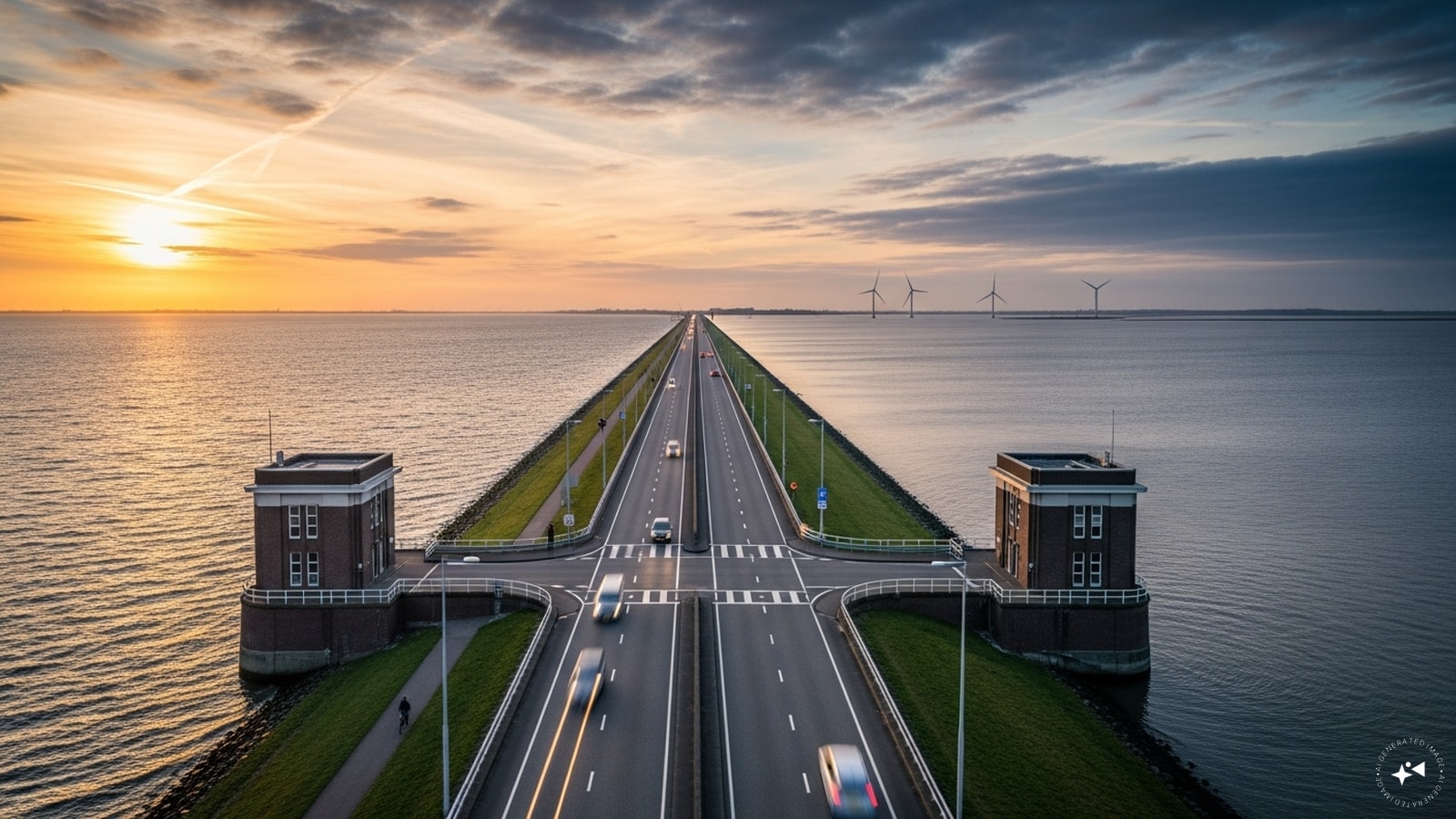
Afsluitdijk Dam, one of the key sea defense infrastructure projects, has protected large parts of the Netherlands against flooding from the Wadden Sea for over 90 years.
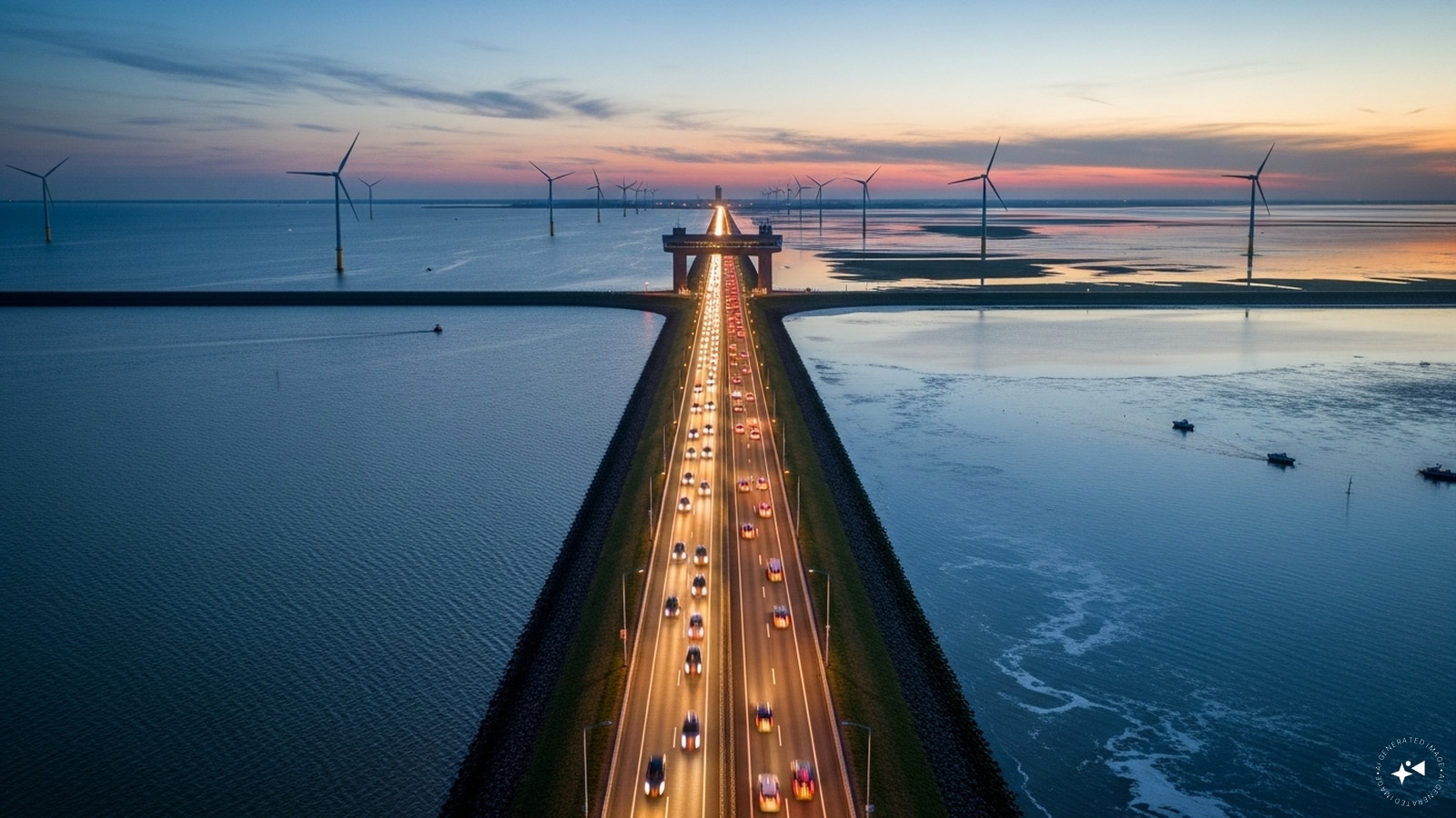
In 1927–32, the 30 km-long dam, known as the Afsluitdijk (“Enclosing Dam”), was built after periodic flooding. (Image: AI)
It was built across the Zuiderzee, separating it into the outer Waddenzee (open to the North Sea) and the inner IJsselmeer (Lake IJssel). (Image: AI)
Initially, the height above Amsterdam Ordnance Datum was between 6.7 metres (22 ft) along the section at Friesland, and 7.4 metres (24 ft) where it crosses the deep channel of the Vlieter. Increases to the height of the Afsluitdijk have been made several times since 1958 as part of regular maintenance since the deadly North Sea Flood of 1953. (Image: AI)
The dam was later renovated as initially a passage for marine fauna was not made. With a new fish migration river, fish can now swim from the Wadden Sea to the IJsselmeer and hinterland and vice versa. (Image: AI)

The causeway highway running on the Afsluitsdijk is the Rijksweg A7. It is a major road connection between Amsterdam and the rest of North Holland with the northern Dutch provinces of Friesland and Groningen, and on towards northern Germany. (Image: AI)
News Photogallery world PM Modi Visits Netherland's Iconic Afsluitdijk Dam: Know Why Is The Structure Special


 English (US) ·